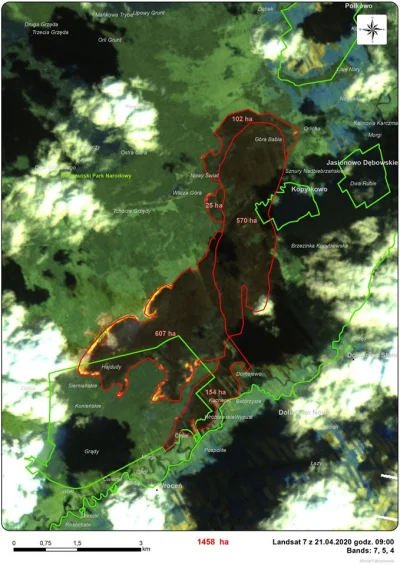
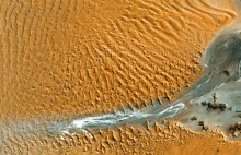
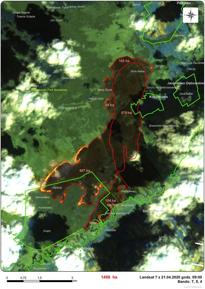
Pół wieku temu na orbitę trafił Landsat 1 otwierając serię jednych z najbardziej znanych satelitów. Zdjęcia satelitarne Ziemi z Landsatów są ogólnodostępne i wykorzystywane są na co dzień w wielu dziedzinach (m.in. w usłudze Google Maps).

Więcej na Kosmonautyka.pl
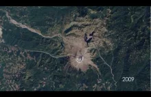
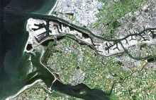
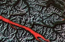
50 lat satelitów Landsat

Ciekawe? Dziękuję Ci za wykop!

#kosmos #satelity #teledetekcja #nauka #gruparatowaniapoziomu #ekonomia #nasa #historia #technologia #fotografia #earthporn #lesnictwo #pogoda #meteo #rolnictwo #geologia #hydrologia #geografa #kartografia #oceanografia #meteorologia #landsat #googlemaps #
yolantarutowicz - Pół wieku temu na orbitę trafił Landsat 1 otwierając serię jednych ...

źródło: comment_1658744450GkJuIS9fTavfsHMmyz8Xql.jpg

Pobierz
By the time this image was acquired in mid-April, springtime sunlight and warmth had advanced the melting to produce some beautiful patterns and textures in the Beaufort Sea, north of Canada. The natural-color image was acquired by the Operational Land Imager (OLI) on Landsat 8 on April 15, 2018. A small part of the image (lower right) was mosaicked in from an April 17 image in order to show more of Mackenzie
misja_ratunkowa - > By the time this image was acquired in mid-April, springtime sunl...

źródło: comment_u10IR1n6nH3fDntyAoVgfNrWZLGxLhjg.jpg

Pobierz
Sea ice appears static when we view a single satellite image, but in fact, it is almost constantly in motion. The ice pack in the open sea is pushed around by winds and currents, and this fractures it into smaller pieces that are more vulnerable to melting. The animation above, composed of images acquired by NASA’s Moderate Resolution Imaging Spectroradiometer (MODIS) instrument on the Terra and Aqua satellites between April 4 and
misja_ratunkowa - > Sea ice appears static when we view a single satellite image, but...

źródło: comment_0lfNjD0eaNQkVggdjjbMCmpRcAZRr7Iq.gif

Pobierz